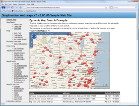
Web.Maps.VE 2.0 Released - ASP.NET Virtual Earth Mapping Server Control
Chris Pietschmann has released Web.Maps.VE v2.0.
Some of the key features in Web.Maps.VE v2.0 are:
-
Plot Pushpins, Polylines and Polygons with Multiple Shape Layer Support
-
Perform "Find" searches from Server-side ASP.NET code
-
Reverse Geocoding (via FindLocations) from Server-side ASP.NET code
-
Plot Multi-Point Driving (and Walking) Directions
-
Implemnt MS Virtual Earth mapping from within Server-side ASP.NET code; No JavaScript Required
-
Server-side Handling of Client-side Map Events (onclick, endzoom, endpan, etc.)
-
Ability to easily build Dynamic/Interactive style Map-based searches
-
Supports ASP.NET 3.5 and Visual Studio 2008 with Design-Time Support
There are many more features to Web.Maps.VE v2.0; go Download the FREE Trial to see for your self.
read more here Web.Maps.VE 2.0 Released - ASP.NET Virtual Earth Mapping Server Control